Naishes Wood at Crookham Park
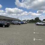
- Free parking (2m height restriction)
- Disabled parking bays
- Bins
- Benches
- Network of footpaths
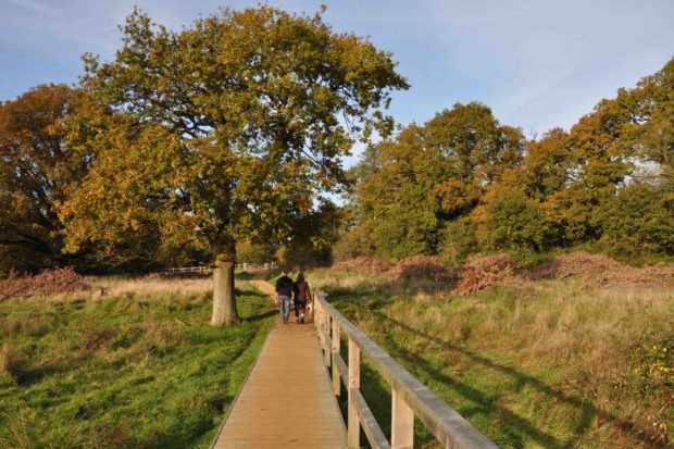
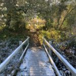
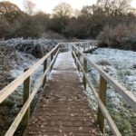
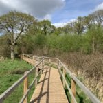
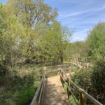
- Some surfaced paths and boardwalks (no complete surfaced loop)
- Choice of routes up to 6km through meadows and woodland
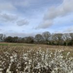
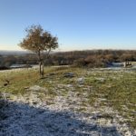
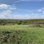
- Open views across surrounding countryside
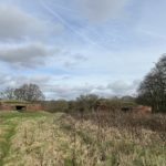
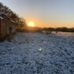
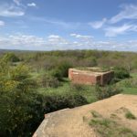
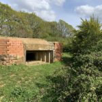
- Unique collection of World War II pillboxes
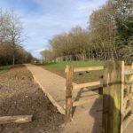
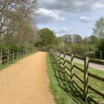
- 2km purpose-built all-weather bridlepath
Where you’ll find it…
Naishes Wood has a large free car park next to the allotments, just off Naishes Lane, Church Crookham, nearest postcode GU52 8DT. Grid reference SU 81347 50828. What3Words: summit.sparrows.nail. It’s sign-posted from Naishes Lane, keep your eyes peeled for brown signs pointing to “Naishes Wood SANG”.
N.B. We’ve given the nearest postcode, but recommend using the links to look up the exact location. The centre of a postcode may be up to half a mile from your destination.
What you’ll find there…
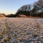
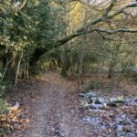
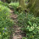
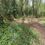
A walk here is a pleasure, in any weather, in any season. With lots of wildlife to enjoy, including Treecreepers, Buzzards, Nuthatches, Roe Deer and woodpeckers. And don’t miss the English Bluebell display in spring (the best area is the woodland in the south west corner, named Ridding’s Copse on some maps). As you explore, you’ll come across open areas with fine views across the surrounding countryside. And more intriguingly, scattered about, are a large number of World War II pillboxes, once part of a significant line of defence that ran from Hook to Salisbury!
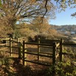
This extensive public space was formerly Queen Elizabeth Barracks, home to the Gurkha Rifles, but has now been set aside for the residents of Crookham Park and the wider community. Also known as the SANGS Project, Naishes Wood features around 160 hectares of woodland and meadows, with a network of unsurfaced and surfaced paths, boardwalks and bridleways.
The longest walks may require a short section of pavement walking, through the Crookham Park housing development. Use the “See route…” button above to display a suggested route.
Gallery…
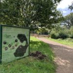
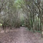
- Naishes Wood, October 2024
- Naishes Wood, October 2024
- Naishes Wood, October 2024
- Naishes Wood, October 2024
- Naishes Wood, October 2024
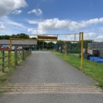
- Entrance to Naishes Wood, October 2024
- Car park at Naishes Wood, October 2024
- Remedial work underway through the route of the Esso pipeline at Naishes Wood, February 2024
- Naishes Wood, February 2024
- Naishes Wood, February 2024
- Naishes Wood, December 2022
- Naishes Wood, December 2022
- Naishes Wood, December 2022
- Naishes Wood, December 2022
- Naishes Wood, December 2022
- Naishes Wood, December 2022
- Naishes Wood, December 2022
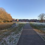
- Crookham Park adjacent to Naishes Wood, December 2022
- Boardwalk at Naishes Wood, April 2022
- Spring flowers at Naishes Wood, April 2022
- Bridleway at Naishes Wood, April 2022
- Bluebells at Naishes Wood, April 2022
- Boardwalk at Naishes Wood, April 2022
- Great hilltop views from Naishes Wood, April 2022
- Great hilltop views from Naishes Wood, April 2022
- One of many World War II pillboxes at Naishes Wood, April 2022

